Skip to content
Facebook
X
Instagram
RSS
Open Sundays 10.00 to 16.00
Home
Reconstruction
Expand
News & Reports
Objectives
Restoration Bulletin
Maps & Features
TWAO Documents
About Us
Expand
History
Organisation
Fundraising
Expand
Fundraising – Legacies
Support Us
Expand
Membership
Volunteering
Events
Donate
Contact Us
Toggle Menu
Maps & Features
Illustration of the Kent & East Sussex Railway. Robertsbridge Junction to Tenterden Town.
Scroll to top
Scroll to top
Home
Reconstruction
Toggle child menu
Expand
News & Reports
Objectives
Restoration Bulletin
Maps & Features
TWAO Documents
About Us
Toggle child menu
Expand
History
Organisation
Fundraising
Toggle child menu
Expand
Fundraising – Legacies
Support Us
Toggle child menu
Expand
Membership
Volunteering
Events
Donate
Contact Us
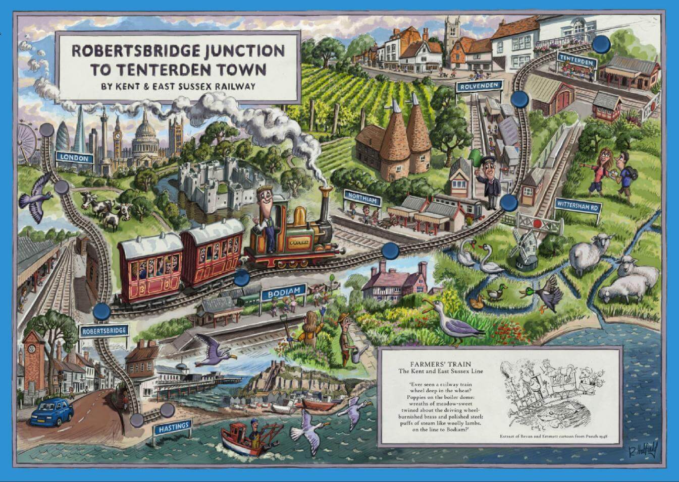 Illustration of the Kent & East Sussex Railway. Robertsbridge Junction to Tenterden Town.
